You are using an out of date browser. It may not display this or other websites correctly.
You should upgrade or use an alternative browser.
You should upgrade or use an alternative browser.
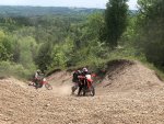
Pls locate the high hill in Ganaraska!
- Thread starter itsme
- Start date
Trials
Well-known member
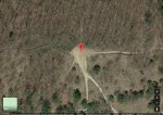
:| that's a relatively small scar on the landscape, is about 2 big trees wide at the widest spot, I think the forest might survive.
... but if you added that damage to all those other little trails you would have a serious problem. Those are quad trails you see, not motorcycle tracks.
... but if you added that damage to all those other little trails you would have a serious problem. Those are quad trails you see, not motorcycle tracks.
Not sure if the picture is of the hill though it probably is.
According to the GRCA website:
All trails leading up Lookout Hill remain closed while the Ganaraska Region CA and it’s partners continue to focus on site rehabilitation and erosion control. Thank you for your cooperation; all users are asked to please continue to refrain from accessing the area until further notice.
Xhumeka
Well-known member
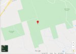
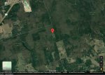
Using this map as reference, you are probably referring to either "lookout", "sand", or "thorpe & neils" hills...
Ganny - Google My Maps
(use satellite view for better idea of location)
Ganny - Google My Maps
(use satellite view for better idea of location)
Last edited:
Underdog
Well-known member
Xhumeka
Well-known member
whats the one that has the little loop at the bottom - you do the loop and come out it headed up the big sand dune
i've labelled that one "sand hill" on the map I posted above.


