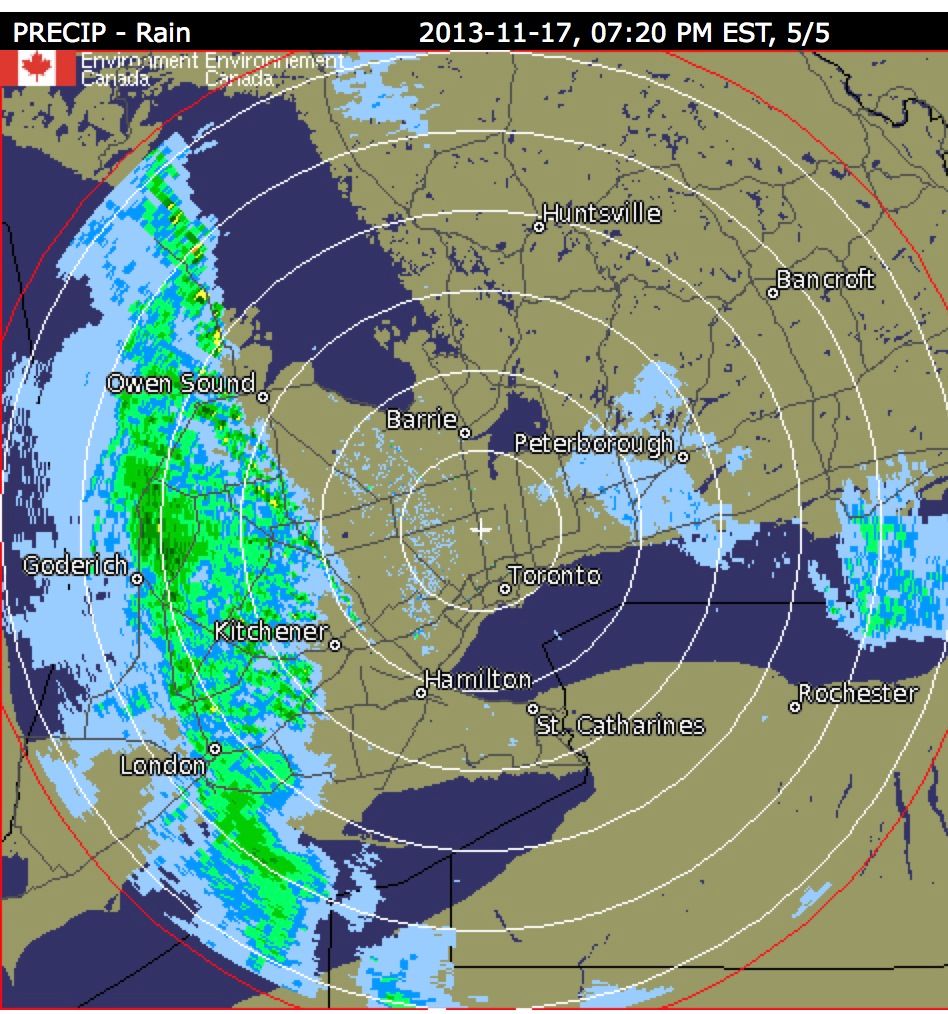
There is a wicked front gonna hit very shortly ....3 people killed in the US Midwst and 76 tornados have touched down and it's about an hour away from us...if that
 .
.
Big hail, big wind...
http://www.intellicast.com/National/Radar/Current.aspx?location=USNY0124

In Windsor now
 .
.Big hail, big wind...
http://www.intellicast.com/National/Radar/Current.aspx?location=USNY0124
In Windsor now
Nov 17, 2013 - 12:13 PM EST
Last Updated: Nov 17, 2013 - 6:53 PM EST
Windsor-Essex is under a severe thunderstorm and wind warning.
Environment Canada reports a low pressure system may cause severe thunderstorms in the area Sunday evening. Heavy rain has begun and although winds in excess of 100 km/h are the primary threat, there is also a risk for tornadoes and large hail, according to Environment Canada.
Hydro One is reporting 1,134 customers are affected by power outages in the county.
The low pressure system from Colorado causing the significant fall storm will continue to track across the region Sunday evening and into Monday, rapidly intensifying as it brings about a cold front that will blast the area, according to Environment Canada.
A wind warning also remains in effect for the area. The winds will be strong enough to cause tree damage and may cause difficult driving conditions, especially for motorists on highways subject to strong cross winds, according to Environment Canada.
Police and fire officials are also urging drivers to take care on local roads as flooding may occur.
“If people can stay indoors I’d recommend they do,” Staff Sgt. V. Giampuzzi said.
Detroit media reports the tornado watch will be in effect until 8 p.m. Sunday.
Pelee Island Ferry Service cancelled its morning and afternoon departures due to weather. A decision about a 6 p.m. departure will be made at 4 p.m.
Last edited: