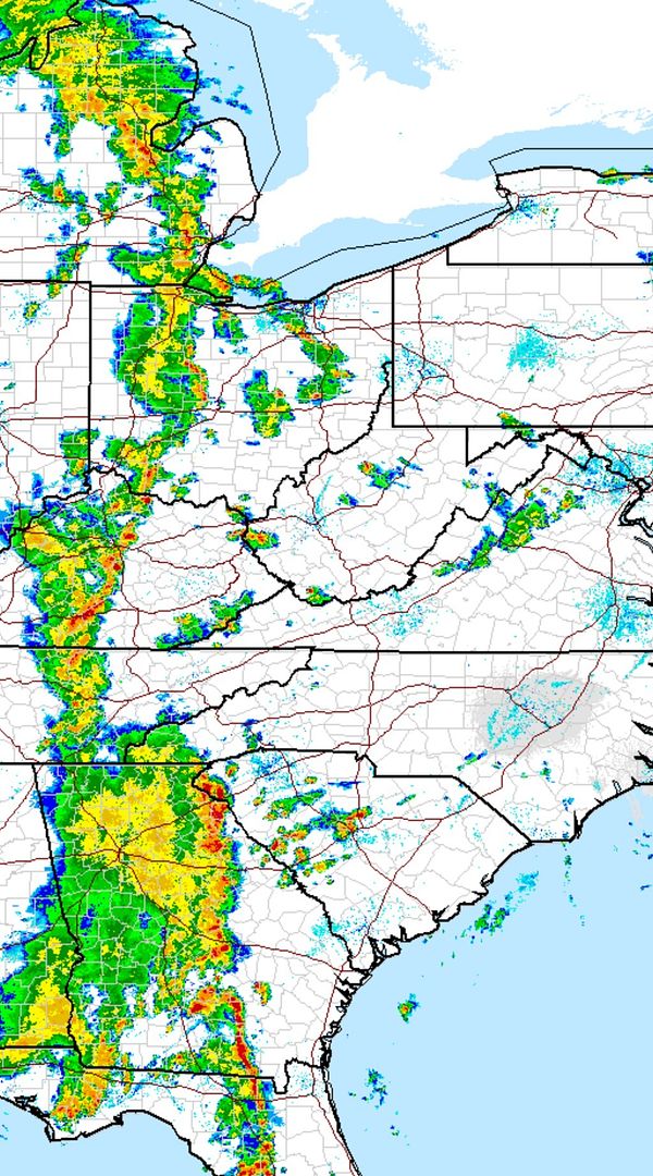
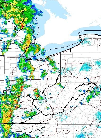
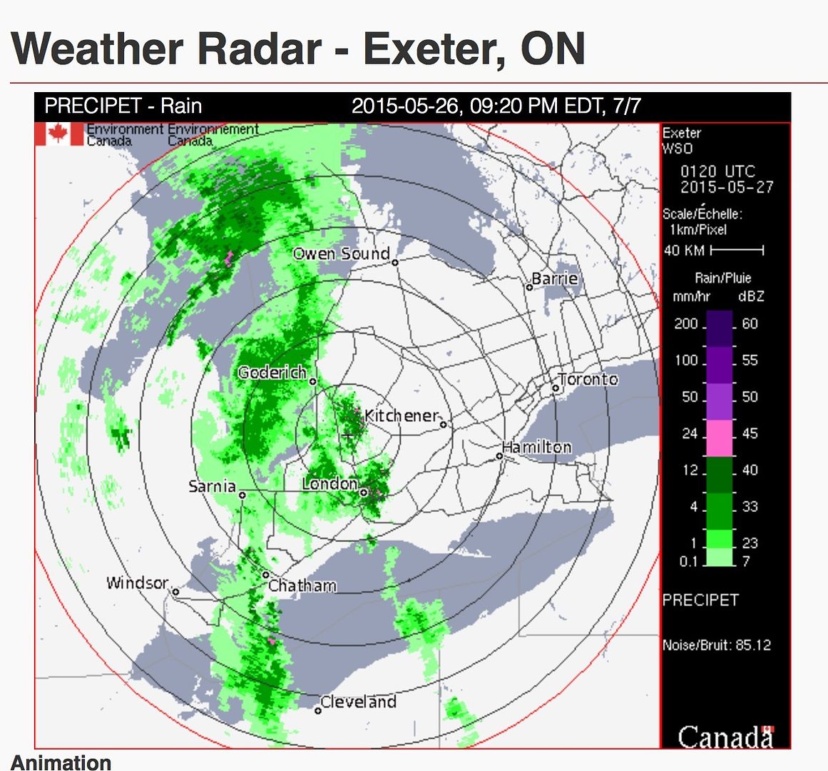
At 7:09 p.m. EDT, Environment Canada meteorologists are tracking a line of severe thunderstorms capable of producing very strong wind gusts, dime to nickel size hail and heavy rain.
The north to south line of thunderstorms is over extreme western Lake Erie and moving northeast. These thunderstorms are capable of producing wind gusts to 100 km/h. Hail to 2 cm in diameter and heavy downpours may also be associated
http://weather.gc.ca/warnings/report_e.html?on16
it's moving in on far S western Ontario right now but it's also moving very very fast.
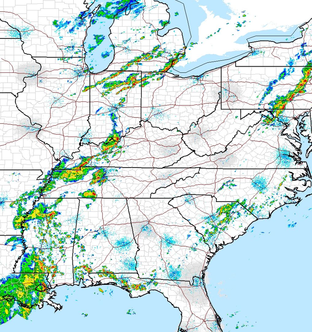
http://radar.weather.gov/ridge/Conus/full_loop.php

This system has killed people in the US. Tread carefully.


