


You are using an out of date browser. It may not display this or other websites correctly.
You should upgrade or use an alternative browser.
You should upgrade or use an alternative browser.
FREE Maps- for Android phones- No data or wifi needed-very nice too
- Thread starter -D-
- Start date

RedDogDarren
Well-known member
Only the built in GPS program utilizing Google maps needs data. Every other one has map packs and GPS works perfectly with data turned off. I have Navigon which is excellent. Let's just say I paid less than you would think for Navigon.
You can not create/follow custom routes with this app.
Google maps download for offline use is clunky and I do not think you can search or route if you are offline. Also no custom routes, offline or online.
I have Garmin Nuvi 220 and you can create routes in software that is so bad that I wanted to smash my laptop few times. They are more concerned about protecting their maps than letting users use it. I see roads on GPS that I do not see in basecamp and basecamp works off the maps loaded from GPS?!
Routes can also be created on GPS but process is idiotic.
I am still looking for something that will let me plan in google maps and dump it in GPS device but that seems nearly impossible. I think they make it so on purpose, maybe patents too, who knows.
Either way I did not see something that I can recommend so far....
RedDogDarren
Well-known member
Why do you all need GPS so badly? Horrible memory or really bad sense of direction. Nobody needed GPS until GPS came along. I think I used mine twice in 5 years for about 2 turns. They are a fun toy, but c'mon!
stevex
Well-known member
Why do you all need GPS so badly? Horrible memory or really bad sense of direction. Nobody needed GPS until GPS came along. I think I used mine twice in 5 years for about 2 turns. They are a fun toy, but c'mon!
because relying completely on technology for as much as we possibly can is the new way of life
RedDogDarren
Well-known member
because relying completely on technology for as much as we possibly can is the new way of life
I know, I was just being rhetorical. Even if it's a technology I don't use I enjoy what it can do and just messing with it.
stevex
Well-known member
Honestly, I think GPS exists mainly for women since looking up a route before hand, knowing directions, and keeping track of actual street names seems to be a mostly foreign concept to the vast majority
that being said, GPS is nice if you're in a jam and your primary route is effed and you need back roads out of wherever. helpful for situations where you're a tourist, or headed some where you've never travelled to before... but i like to have my route planned before, blindly following GPS hasn't served me well in the past
that being said, GPS is nice if you're in a jam and your primary route is effed and you need back roads out of wherever. helpful for situations where you're a tourist, or headed some where you've never travelled to before... but i like to have my route planned before, blindly following GPS hasn't served me well in the past
"or headed some where you've never traveled to before..."
what a novel concept for someone riding a motorcycle...
When one travels for days on unknown roads having route in GPS is amazing time saver.
Nobody has to follow GPS, but having best route in it and being able to navigate back to it no matter what detour you decide to take is great.
Any road can be called 5 different things and good luck remembering 27 different road names in foreign language.
Sure there are paper maps, good backup, but nothing beats GPS with great route in it.
It is not about how I get to downtown if Gardiner is closed. It is about how do I make sure I am always on the best roads for my whole trip somewhere where I never was before....
Splash
Well-known member
You can not create/follow custom routes with this app.
Google maps download for offline use is clunky and I do not think you can search or route if you are offline. Also no custom routes, offline or online.
I have Garmin Nuvi 220 and you can create routes in software that is so bad that I wanted to smash my laptop few times. They are more concerned about protecting their maps than letting users use it. I see roads on GPS that I do not see in basecamp and basecamp works off the maps loaded from GPS?!
Routes can also be created on GPS but process is idiotic.
I am still looking for something that will let me plan in google maps and dump it in GPS device but that seems nearly impossible. I think they make it so on purpose, maybe patents too, who knows.
Either way I did not see something that I can recommend so far....
I have no problem doing everything you just said with the garmin software. I use Mapsource, not Basecamp.
a) standalone GPS days are done - smart phones do it all and then some for much less
b) paper maps are useless if you don't know where you are and that's very easy in rough terrain....all smart phones have GPS and free apps.
c) Taking it further, TomTom in my case - by punching in maximum Winding Roads takes me to the best spots but keeps me off dirt roads.
There is no way I would find some of the roads I've been on on this trip and its all without needing an internet connection.
$50 or less.
MotionXDriver and MotionsXGPS are excellent apps and not expensive...you can route yourself or have it track you.
ForeverMaps gives you the world offline for peanuts cost. Download the maps once and you are set.
http://www.skobbler.com/apps/forevermap
$2.99 one time purchase.
The apps these days do a good job rerouting so I can wander where I want and still know how far to say the motel or destination....I can switch from Winding Roads or no highways to fastest.
Sorry but touring without a smart phone is a dumb thing.
I've been using NavFree this year, and it's great for offline point to point routing.
But yeah, no routes. If anybody finds quick to use software to just dump a Google Maps route into a phone for offline use, I'd snap that app up in a heartbeat.
And spending a few months in Montreal, with trips out East & back on roads I've never been on before...having it on my phone was a huge bonus. If you never leave the house, then yeah a GPS is just a useless toy. For you.
Have a look at MotionX
They allow you to use their server for translation of various formats. I don't point to point route as I let TomTom choose - either fastest or most winding so it's a bit pointless.
I can store all my destination points in Favorites and then just call up as needed.
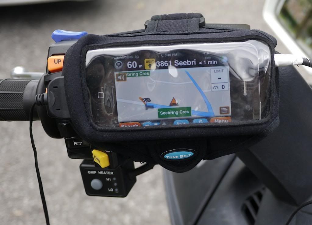
Mounted on the handlebar it's easy - and I can control the music too
If anybody finds quick to use software to just dump a Google Maps route into a phone for offline use, I'd snap that app up in a heartbeat.
They allow you to use their server for translation of various formats. I don't point to point route as I let TomTom choose - either fastest or most winding so it's a bit pointless.
I can store all my destination points in Favorites and then just call up as needed.
Mounted on the handlebar it's easy - and I can control the music too

I Like having the ability to plan a base route and then go from there. My Zumo 660 does this. HD Ride Planner (Yes Harley Davidson) is the one of the better ride planners that lets you sync the route directly with your GPS. (Basecamp is just awful) No need to convert files etc.
RedDogDarren
Well-known member
a) b) paper maps are useless if you don't know where you are and that's very easy in rough terrain....all smart phones have GPS and free apps.
Sorry but touring without a smart phone is a dumb thing.
Two things I disagree with. A paper map did me just fine in rough terrain when I needed it. No issue figuring where I was. Maybe the military taught me to use my head more? It pays to know what you're doing with co-ordinates and a compass when your technology fails.
Touring was just as easy without a phone, hardly dumb. Being perma connected with a phone glued to us is a bloody prison sentence, I don't need to be a member of the Borg collective to survive thank you. Without your phone you must actually impliment a little used process today called thought and preparation.
My touring didn't just consist of riding to a destination. It was always just riding. Pick a direction and go. So what if you don't realize what road you are on when you are out exploring? Are you afraid you'll go in the wrong direction and arrive back home? If so you have a horrid sense of direction and need your GPS. Riding and discovering new places is awesome when you don't know exactly what your exact co-ordinates are on Google maps.
Honestly, if you NEED GPS and a smart phone you have bigger problems that need to be addressed.
kiley
Well-known member
Two things I disagree with. A paper map did me just fine in rough terrain when I needed it. No issue figuring where I was. Maybe the military taught me to use my head more? It pays to know what you're doing with co-ordinates and a compass when your technology fails.
Touring was just as easy without a phone, hardly dumb. Being perma connected with a phone glued to us is a bloody prison sentence, I don't need to be a member of the Borg collective to survive thank you. Without your phone you must actually impliment a little used process today called thought and preparation.
My touring didn't just consist of riding to a destination. It was always just riding. Pick a direction and go. So what if you don't realize what road you are on when you are out exploring? Are you afraid you'll go in the wrong direction and arrive back home? If so you have a horrid sense of direction and need your GPS. Riding and discovering new places is awesome when you don't know exactly what your exact co-ordinates are on Google maps.
Honestly, if you NEED GPS and a smart phone you have bigger problems that need to be addressed.
This.^^^^^^^^
I bring my Playbook and love it.
I use it at night to figure out the next day but that's about it.
CAA gives maps for free.
If i don't need the whole map i just cut out the section i need and laminate it if needed.
Labour Day weekend I did the finger lakes.
I just traveled west till i started getting tired then head south.
Next thing i know i'm on I86.
I love trips like this.
Other trip I did this year was out to Montana.
Spent 2 days on I90.
Really don't think you need a GPS for that.
To each his own I guess.
There was already a thread on this where we discussed Forever Map and some other options.
Google Maps doesn't work worth crap offline although I've noticed that if I get a route and start navigation, it will happily hum along following me without a data connection. I don't think it could reroute if it needed to, though. I used this method for the drive from Whitehorse to Mayo with zero cell coverage anywhere but in Whitehorse and it worked for a full 5 hours with no data. But there's only one highway so it never needs to reroute.
TomTom (US & Canada) can be had on sale for like $30 when the time is right.
-D-
Banned
CoPilot is a really cool app for Android and Apple phones too. It's cheap and you do not need data or wifi as the maps are stored on your phone.
The nice thing about having a GPS setup are:
1. you can set the fuel info on some apps/gps...so if you want to take a detour
2. if weather or traffic is bad you can just keep moving and hop off to another road
3. gps keeps you moving and reduces the stress allowing you to focus on the roads more
4. gps allows you to easily take a detour to visit some place or road that was not on the plan
5. it will show you info and phone numbers for gas stations and hotels etc...
6. GPS are more up to date than paper maps especially for construction spots or detours.
Depending on the type of riding you can setup all the spots to visit (waypoints) of things you would like to see and the software will route the best bath for you. You can also ensure you plot gas stations and rest areas.
Speed traps and red light cameras are a function for some GPS and GPS apps.
It is still a good idea to carry a paper map.
I have a magic paper map that updates the traffic conditions and writes a new route.
Jebus you guys are old.
Waze will alert you of road hazards, traffic and police radar, red light cams in real time.
Jebus you guys are old.
Waze will alert you of road hazards, traffic and police radar, red light cams in real time.


