


Bloody jet stream is making any planning impossible...storm front after storm front is riding it.

stuff like this
http://www.accuweather.com/en/weath...extended-regional-weather-forecast/9551451001
I think this week is a write off for any distance for me....maybe Shane is south of it.
total unmitigated mess
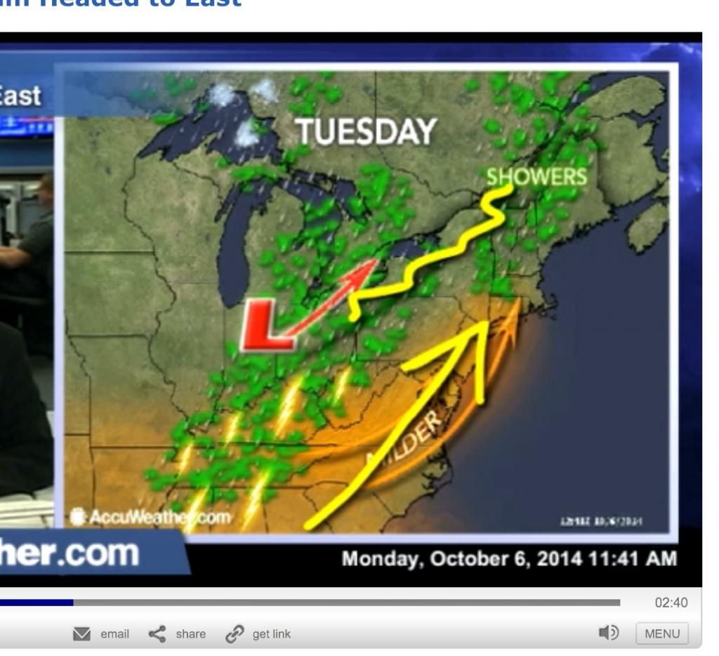
watch the second video that follows the first one

Ontario is actually looking better from Thursday through Sat.
Chilly but mixed sun and cloud. Guess it's local runs to get settled on the Vstrom.
stuff like this
..THERE IS A SLGT RISK OF SVR TSTMS ACROSS PARTS OF THE MID MS
VALLEY...OH VALLEY AND TN VALLEY...
...SUMMARY...
SCATTERED SEVERE THUNDERSTORMS CAPABLE OF LARGE HAIL AND A FEW
DAMAGING WIND GUSTS ARE EXPECTED MONDAY AFTERNOON FROM EASTERN
ARKANSAS INTO NORTHERN MISSISSIPPI...TENNESSEE AND SOUTHERN
KENTUCKY. A TORNADO OR TWO CANNOT BE RULED OUT ACROSS WESTERN
TENNESSEE AND NORTHERN MISSISSIPPI.
http://www.accuweather.com/en/weath...extended-regional-weather-forecast/9551451001
I think this week is a write off for any distance for me....maybe Shane is south of it.
total unmitigated mess

watch the second video that follows the first one
Ontario is actually looking better from Thursday through Sat.
Chilly but mixed sun and cloud. Guess it's local runs to get settled on the Vstrom.
Last edited:


