bigpoppa
Well-known member
Going to be doing some cross border touring, and not sure if I want to shell for a dedicated GPS unit...
What are my options? Rely on hotel wifi to download offline maps?
I tested out an e-sim locally and it was trash even in Canada...
Get a local phone outside the country and use it for GPS?
Im fairly comfortable with maps and compasses as well, but that might be a bit time consuming...
I spoke to rogers and even a small amount of use, no matter how insignificant, is crazy roaming money.
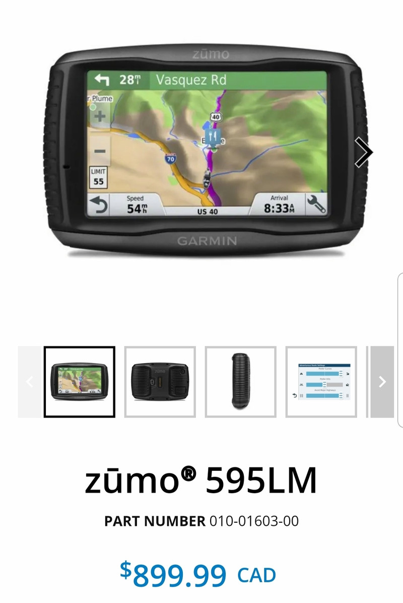
If I do go the dedicated garmin route, how much work is it to install?
What are my options? Rely on hotel wifi to download offline maps?
I tested out an e-sim locally and it was trash even in Canada...
Get a local phone outside the country and use it for GPS?
Im fairly comfortable with maps and compasses as well, but that might be a bit time consuming...
I spoke to rogers and even a small amount of use, no matter how insignificant, is crazy roaming money.
If I do go the dedicated garmin route, how much work is it to install?